HiVis Supply Blog

The Super El Niño 2026-2027: What It Means for Weather Across America

A giant is stirring in the Pacific. 

Climate scientists are now tracking what may become one of the most powerful El Niño events in recorded historya sprawling warming of the central and eastern equatorial Pacific that, by late 2026, is projected to rival or surpass the legendary 1997–98 episode that reshaped weather patterns across the globe and caused an estimated $45 billion in damages worldwide. Meteorologists have taken to calling it the Super El Niño, and the name is not an overreaction.  

For individuals, the implications are significant, and they vary enormously by region, for the workplace or jobsite, the implications are just as significant. A Super El Niño doesn't deliver the same weather everywhere. It reshapes the jet streamthat great river of wind that steers storms across North Americain ways that drench some places, parch others, and scramble the seasonal rhythms millions of people have come to rely on. Understanding what's coming, region by region, is the first step toward preparing for it. 

Here is what the sky and science currently tell us. 


What Makes This One "Super" 

El Niño is a natural climate pattern that begins with warmer-than-average sea surface temperatures in the central and eastern tropical Pacific. Those warmer waters pump heat and moisture into the atmosphere, shifting rainfall patterns and altering wind currents that cascade across hemispheres. Most El Niño events are modest. A strong one comes along every decade or so. A super El Niño one where sea surface temperature anomalies exceed +4.5°F across the ocean region - is a different beast entirely. 

The 2026–2027 event is, as of early summer 2026, tracking above the threshold already seen during the record-breaking 1997–98 and 2015–16 episodes.  

The core El Niño season runs from roughly November through March, which means the most intense teleconnections - the downstream atmospheric ripple effects - are expected during the winter of 2026–2027. 

So, what does this mean specifically for your part of the United States? 


The Southeast: Wet, Stormy, and Unsettled – Prepare the Hoodies Rain Gear 

For the Southeast - from the Carolinas through Georgia, Florida, Alabama, Mississippi, Louisiana, and Tennessee - strong El Niño winters historically bring one of the clearest signals of any U.S. region: a stormier, wetter, and cooler-than-average season. 

During a Super El Niño, the subtropical jet stream strengthens dramatically and shifts southward, funneling a parade of Pacific storm systems across the Gulf of Mexico and into the Gulf Coast states. Rainfall totals from November through March can run 150 to 200 percent of average. That means flooding - river flooding, urban flooding, and agricultural flooding - becomes a significant hazard. 

Florida is worth special attention. The state sits directly in the path of the enhanced subtropical jet, and Super El Niño winters have historically brought not just heavy rainfall but an elevated risk of severe weather, including tornadoes (one only needs to Google the February 1998 tornado outbreak in Central Florida)The Florida Panhandle and northern Florida are particularly vulnerable. Meanwhile, South Florida may see its typically dry winter season disrupted, with above-normal precipitation and the occasional cold snap that can damage sensitive crops and ecosystems, including the Florida Keys' coral reefs, already under thermal stress. 

Temperatures across the Southeast will likely run below average, a relative rarity in an era of persistent warmth. Snow events in the Carolinas and Tennessee, ice storms in the inland South, and persistent overcast gray days are all consistent with what history shows. 

The takeaway for Southerners: watch the long-range forecasts carefully from October onward. Have flood plans in place. And don't be surprised if this winter feels more like the Pacific Northwest than the Sunbelt. 


The Pacific Northwest: Warmer and Drier Than You'd Expect – Get the Shirts Ready 

Here's the counterintuitive twist: while the rest of the country braces for a soaking, the Pacific Northwest - Washington, Oregon, and northern Idaho - typically dries out during strong El Niño events. This is one of the most robust and well-documented El Niño links in North America. 

As El Niño strengthens the subtropical jet stream to the south, it simultaneously weakens and displaces northward the polar jet stream - the storm track that normally steers moisture-laden Pacific systems into the Northwest. Fewer storms reach the region. The ones that do are often weaker. The result is a winter that runs warmer and drier than average. 

For the Cascades and the ranges of northern Idaho, this translates to reduced snowpack - potentially severely reduced. The snowpack of the Pacific Northwest is the region's water tower. It accumulates through the winter and releases through the spring and summer, feeding rivers, reservoirs, and the vast agricultural systems of eastern Washington and Oregon. A Super El Niño winter that cuts snowpack by 40 to 60 percent - as occurred in some areas during 1997–98 - sets up a cascade of consequences: low summer streams, elevated wildfire risk from July onward, strained hydropower generation, and water shortages for both agriculture and municipalities. 

The spring and summer of 2027 are, in many ways, where the Pacific Northwest's real El Niño impact will be felt. The warm, dry winter is the setup. The drought and fire season are the main consequence. 

Residents and workplaces should pay attention to reservoir levels and snowpack reports beginning in January. Water managers will be watching closely. Homeowners and businesses in fire-prone areas should treat the upcoming fire season as a high-risk year from the start. 


The Southwest and California: The Big Wet – Full-on Rain Gear Season 

If there is a region that has reason to view a Super El Niño with something approaching relief, it is California and the broader Southwest. After years of punishing drought, the prospect of El Niño-driven precipitation is genuinely welcome - with significant caveats. 

California's relationship with El Niño is well established. Strong events drive the storm track directly into central and southern California, areas that are normally semi-arid in winter. The 1997–98 Super El Niño brought devastating floods and mudslides to Southern California but also refilled reservoirs that had been critically low. The 2015–16 event was widely expected to do the same but ultimately underdelivered due to a blocking ridge of high pressure. Climate scientists have spent years studying why California's El Niño response is less reliable than the Southeast's, and the consensus is that the blocking ridge pattern has become more common - likely linked to warming-induced changes in the large-scale atmospheric circulation. 

For 2026–2027, the current forecast ensemble leans toward a favorable outcome for California precipitation, particularly in the southern two-thirds of the state. If the subtropical jet strengthens as expected, Southern California, the Central Valley, and the Sierra Nevada could see above-normal precipitation through the heart of winter. For the Sierra, that means snowpack - and a meaningful recharge of reservoirs that have been drawn down over the past several dry years. 

But the same atmospheric setup that brings rain brings risk. California's landscape, particularly in areas repeatedly burned by wildfire, is highly vulnerable to debris flows when atmospheric rivers arrive in rapid succession. The hills above Los Angeles, the slopes of Ventura and Santa Barbara counties, and the communities at the base of burn scars throughout the Sierra foothills will need to be vigilant. The deadliest aspect of an El Niño winter in California is often not the rain itself but what happens when that rain falls on destabilized, fire-scarred terrain. 

Arizona and New Mexico could see above-normal precipitation as well, particularly in the southern portions of both states, where the strengthened subtropical jet makes its influence felt. This is generally positive for those chronically water-stressed regions, but flooding in desert washes and urban areas is a real concern when large amounts of rain fall quickly on hardpan soil. 

Nevada's fate depends heavily on storm track positioning, but Lake Tahoe-area snowpack and the Truckee River system could benefit meaningfully if conditions align.


Hawaii: Drier and Calmer - But with Trade-offs Shirts AND Rain Gear? 

Hawaii's El Niño signal is often overlooked in mainland-focused coverage, but it is significant. Strong El Niño events are associated with a northward shift in the Intertropical Convergence Zone and changes to the trade wind patterns that govern Hawaiian weather. 

The net result is typically a drier-than-average winter for most of the main Hawaiian Islands, particularly on the typically wet windward sides. Rainfall deficits can stress agriculture, lower reservoir levels, and increase fire risk in areas of Maui and the Big Island that are already prone to dry-season burns. 

However, there is a more complex dynamic at play with tropical cyclones. El Niño tends to suppress Atlantic hurricane activity - good news for the Gulf Coast and East Coast - but it has a more mixed relationship with central Pacific tropical cyclone activity near Hawaii. Some Super El Niño years have seen elevated hurricane activity in the central Pacific basin, though this tends to peak in late summer and fall, ahead of the core winter season. 

For Hawaii residents, the watch items for 2026–2027 are water supply management, fire risk in leeward areas, and elevated attentiveness to the central Pacific storm season before El Niño fully takes hold. 


The Midwest and Northern Plains: Warmth and Reduced Snow – Bomber Jacket & Chore Coat Season – Snow Gear on the Easten Side of the Lakes 

The Midwest and Northern Plains - from the Dakotas through Minnesota, Wisconsin, Iowa, Illinois, Indiana, Ohio, and Michigan - see a very different El Niño story than the rain-soaked South. 

During strong El Niño winters, the polar jet stream pulls northward over this region, ushering in milder-than-average temperatures. The brutal cold outbreaks that characterize severe Upper Midwest winters become less frequent. Snowfall totals typically run below average. January and February, the months that usually deliver the deepest cold, may feel comparatively benign. 

This sounds pleasant, and in many respects it is. Heating costs are lower. Road conditions are safer. Outdoor workers endure fewer dangerous cold days. But the agricultural and ecological consequences can be significant. The Northern Plains winter wheat crop depends on snow cover for insulation - bare, frozen ground without a snowpack can lead to winterkill. As our agricultural customers know, fruit trees in Michigan and Wisconsin depend on cold winters to synchronize flowering with spring conditions; warm winters followed by late cold snaps are among the most damaging combinations for orchards. 

The Great Lakes region faces an additional consideration: lake ice. Cold winters that freeze the Great Lakes extensively suppress the "lake effect" snowfall machine on the lee shores of those lakes. A warm El Niño winter keeps the lakes open longer and at higher temperatures, which can actually enhance lake effect precipitation - as heavy snow - in narrow zones downwind of the lakes, even as the rest of the region stays dry and mild. Residents of the snowbelts of western New York, northwest Ohio, northern Indiana, and Michigan's Upper Peninsula should not assume that a mild El Niño winter means a snow-free one. 


The Mid-Atlantic and Northeast: The Mild, Rainy Exception Bomber Jackets, Chore Coats & Rain Gear Season 

For the densely populated corridor from Washington, D.C. through Philadelphia, New York, Boston, and beyond - and for the broader Northeast including New England and the Mid-Atlantic states - a Super El Niño winter historically means warmer and often wetter conditions, but with an important asterisk. 

The warming is the dominant signal. During strong El Niño winters, the Northeast tends to run 2 to 5 degrees Fahrenheit above the long-term average. This means fewer snow events, more rain, and a general sense of a muted winter. For a region that depends on ski resorts, ice skating, and snowpack in the Adirondacks, Catskills, Green and White Mountains, this is economically consequential. Ski areas that struggled through poor snow seasons in recent years may face another challenging winter. 

But the asterisk is this: El Niño's influence on the Northeast is less deterministic than in other regions. The Northeast sits at the boundary between the southward-displaced subtropical jet - which favors storms - and the northward-displaced polar jet, which tends to cut off the coldest arctic air. The result is sometimes a winter dominated by powerful nor'easters that bring heavy rain at the coast and wet snow to interior areas, rather than the dry cold and powder snow of a true winter. Flooding from rain-on-snow events can be a significant hazard. 

New England should watch particularly for ice storm risk in northern areas where temperature gradients can create the perfect setup for freezing rain during fast-moving systems. And the coastal Northeast, perennially vulnerable to coastal flooding from powerful Nor'easters, may face an active storm season even if the overall character of the winter is mild. 


Looking Ahead: Preparation Is the Whole Game 

The team here isn’t meteorologists, but we watch and study the weather closely – as closely as farmers do. The 2026–2027 Super El Niño will play out differently for different Americans. For some, it means a drought reprieve. For others, it means floods and mudslides. For many in the middle of the country, it means a quiet, warm winter with its own set of trade-offs. 

What history teaches clearly is that the communities that fare best during these events are those that prepare for them honestly - that don't assume because El Niño "should" bring rain that they are protected from drought, or assume because the winter "should" be mild that a severe storm can't arrive. 

Climate scientists will continue refining their forecasts as the event develops. The core El Niño indicators are monitored weekly by NOAA's Climate Prediction Center, and updated seasonal outlooks are issued monthly. Watching those updates and translating them into local preparedness actions - whether that means flood insurance, wildfire defensible space, drought-resilient crops, or simply knowing your watershed's current conditions — is the most useful thing any individual, business, community, or government can do. 

The Pacific Ocean has given us fair warning. The question now is what we do with it. 


Sources and further reading: NOAA Climate Prediction Center seasonal outlooks. 

Workplace Safety: Working in Heavy Traffic

Jobsite Worker Wearing DOME75 DV2533 Safety Vest

In our rapidly growing world, workers in high traffic zones face significant challenges and dangers. These individuals are the unsung heroes, ensuring the safe and efficient operation of our roads, bridges, and power lines. Unfortunately, they often work with minimal protection amidst the constant flow of heavy traffic. It’s crucial to recognize the importance of workplace safety for these essential workers and implement strategies to protect them from the hazards of their environment. Prioritizing safety measures not only safeguards their well-being but also ensures the smooth functioning of our critical infrastructure.

Read more

Choosing the Ideal Summer Work Shirt

HiVis Worker on a ladder

Summer work conditions can be tough, but the right shirt can make all the difference. Learn how to choose the best HiVis summer work shirt to stay safe and comfortable. Explore our top picks and essential features to look for in your next work shirt.

Read more

Surviving The Heat: Crucial Safety Tips For Working In Extreme Temperatures

Worker wearing high visibility safety t-shirt  by the railroad

Working in extreme heat can be both uncomfortable and dangerous. According to the U.S. Census Bureau, one in every four Americans have low resilience to heat-related illnesses such as heat exhaustion, dehydration, and sunstroke. It is more important than ever to maintain your wellness and safety on the job. Below are seven heat safety tips for a safer day on the job. 

Read more

Understanding High-Visibility Requirements for Construction

Understanding High-Visibility Requirements for Construction

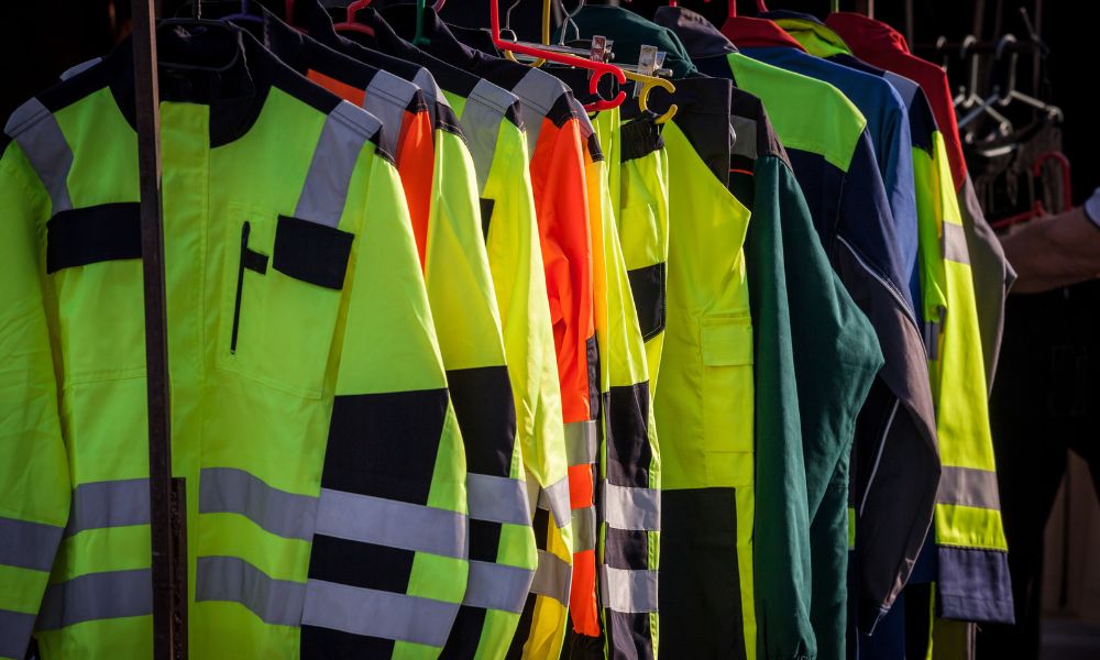
With all the hazards that exist on construction sites, providing your workers with high-visibility gear is crucial. Here are hi-vis gear requirements!
Read more

How to Outfit for Logistics 3PL Operations

How to Outfit for Logistics 3PL Operations

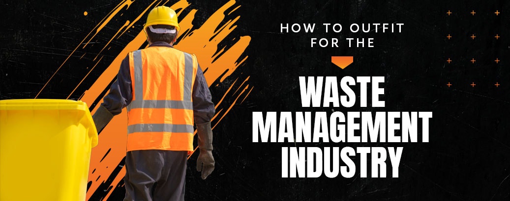
Employees working in the third-party logistics industry (3PL) must know and apply all basic warehouse safety measures. Warehouse safety and risk prevention are critical due to the potential dangers people face when working in 3PL warehouses, such as distribution centers. Although 3PL operations warehouses employ multiple measures to protect workers from accidents and injuries, an essential element of warehouse safety is wearing the proper outfit and personal protective equipment (PPE), such as hard hats or enhanced visibility apparel.
Read more

How to Outfit for the Waste Management Industry

How to Outfit for the Waste Management Industry

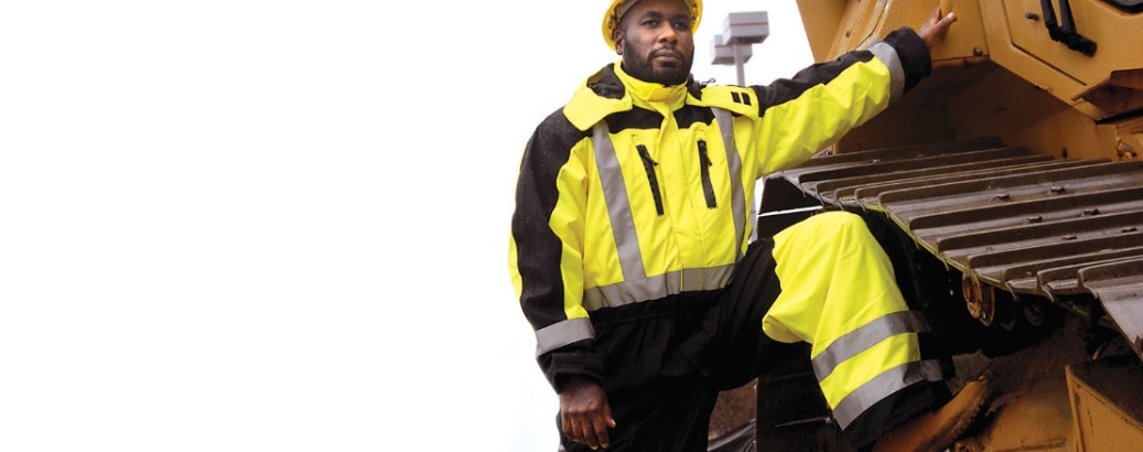
Heavy machinery, traffic hazards, hot and cold weather — it’s all in a day’s work for folks in the waste management industry. Thus, when waste management employees are out there collecting, transporting and processing the world’s trash and recycling, they need professional-quality protection to make sure they can do the job safely and effectively. What are the key pieces of waste management safety clothing? It’s time to find out! Here, we’ll talk about the key personal protective clothing that every sanitation worker should have access to. Let’s start by taking a look at what kind of dangers waste management professionals face on the job. 
Read more

Vendor Spotlight: Occunomix

Vendor Spotlight: Occunomix

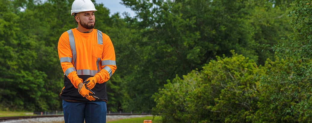
Looking for gear that will keep you safe and comfortable during long hours working outside? HiVis Supply offers a collection of durable protective gear designed for your safety, including Occunomix. As one of the top brands in the industry, Occunomix provides a variety of outerwear, headwear and coveralls to keep you protected when doing outdoor work. Whether you work in construction, oil and gas, electric, plumbing, HVAC, mining or landscaping, our Occunomix products can protect you from work accidents and reduce environmental discomfort so you can stay focused on the job.
Read more

Hi Vis Clothing Guide: When Is Hi Vis Required?

Hi Vis Clothing Guide: When Is Hi Vis Required?

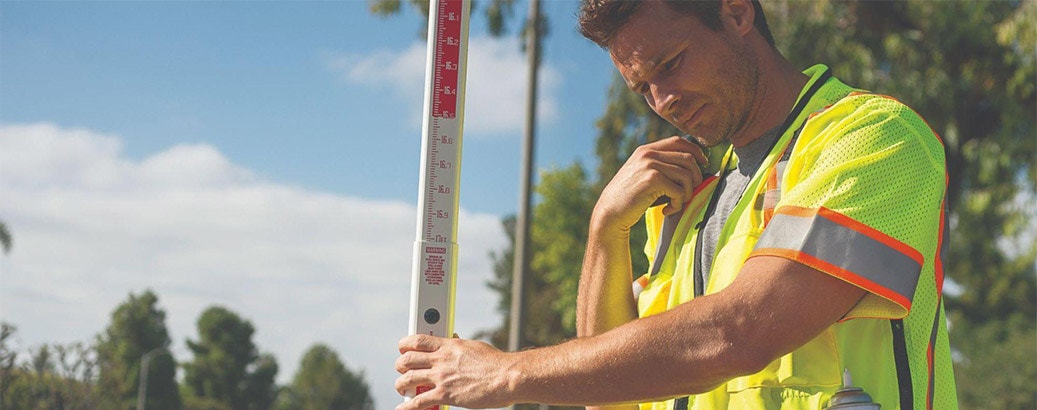
The safety and protection of workers on the job should always be a priority. If you work in an industry where being seen equals being safe, you may already recognize the importance of wearing high visibility (Hi Vis) clothing for personal protection. Learn the specific requirements for when hi vis is required and how high visibility clothing can keep you safe at work in our helpful Hi Vis gear guide. 
Read more

Working in Heat: Safety Tips

construction worker

Working hard outside isn’t most people’s favorite thing to do on a hot day — the beach is a thing, after all — but there’s a whole lot of work to get done, nonetheless. So, if you’re out working a construction project, collecting waste bins, working the airport tarmac or doing one of the many other jobs that require being out in the heat, it’s crucial to know how to do it safely! Up ahead, we’ll talk about seven of the most important safety concepts for anybody working in heat. From sun safety to hydration and beyond, get ready for our top summer safety tips!
Read more

Copyright © 2005-2026 Summit Safety (dba HiVis Supply). All rights reserved.